Cemetery Mapping
Cemetery mapping is one of Seramur & Associates’ specialties. Our use of geophysics (including ground penetrating radar and electric resistivity meters) allows for non-invasive surveying.
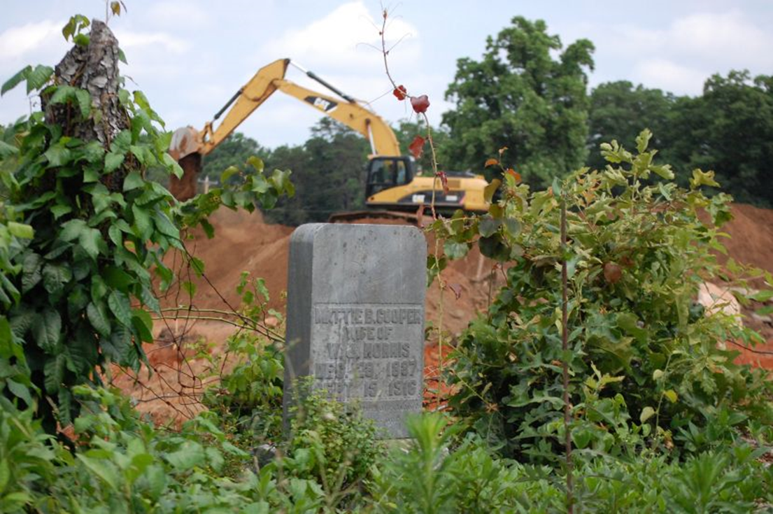
Projects involving critical infrastructure development can require that historic cemeteries be identified or moved. Our staff has experience working with families of the descendants and our cemetery maps have assisted in providing closure in these sensitive situations.

Importance
Geophysical surveys at historic cemeteries are used to identify unmarked graves allowing the cemetery boundaries to be delineated. These boundaries typically include burials of indigent people outside of formal cemetery walls. Local or family cemeteries are not uncommon on historic properties. Graves were often marked with wooden crosses or field stones now dislodged from their original location.


